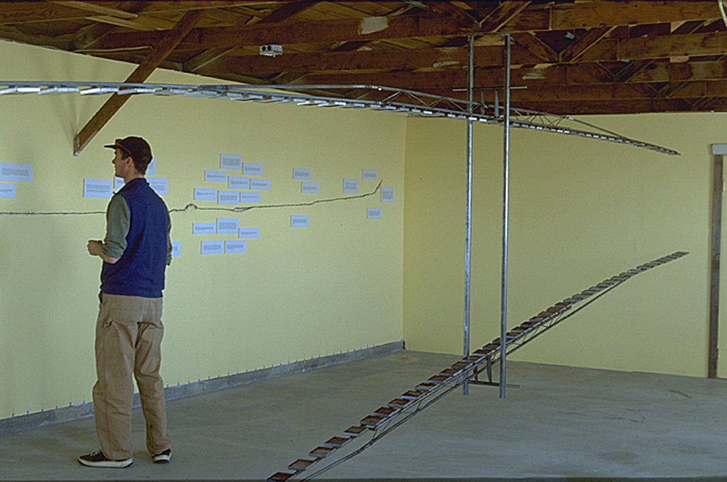
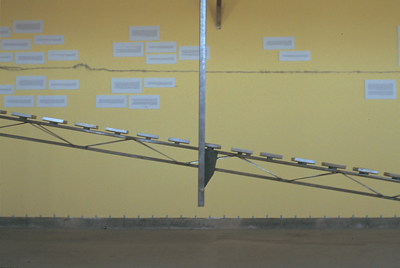
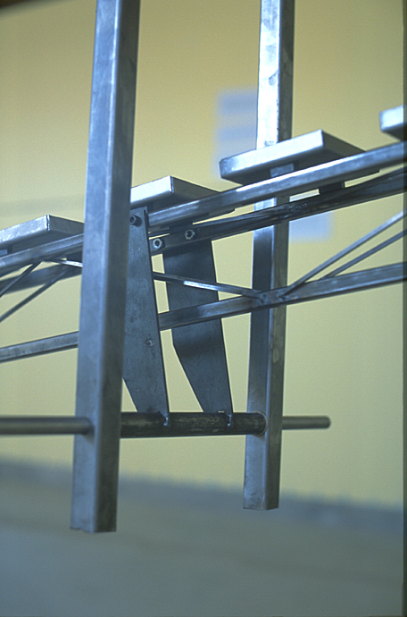
30' x 15' x 10'
September 2003-2004
Room installation at the Center for Land Use Interpretation created during my 7 week residency consisting of a 24'-0" long x 4" steel seesaws, resin and photograph boxes, and a wall drawing of state line in topographic section, graphite, paint and text. Clustered around the topographic section are thirty texts describing history, stories, and phenomena of the site. On the other side of the room, I hung World War II strafing bullets, found on the salt flats, wrapped in hair from a local salon. In the center, dividing the room, I hung the Landscape Seesaw 2. The two parallel steel seesaws display Land Camera Polaroids of the sky and ground taken along the state line between Nevada and Utah. My walk began in the mountains north of town and continued through housing, casinos, and the training ground for the crew that dropped the bomb on Hiroshima and Nagasaki and ended at a V1 rocket-testing site. On four consecutive days, I photographed at 11-minute intervals (or 250' intervals) along the state line, beginning at dawn and ending at dusk.